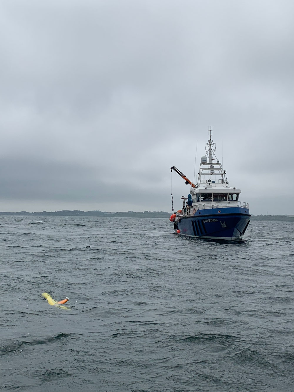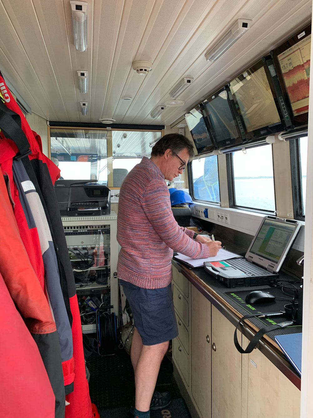
For two weeks in June, the MarPAMM team from the Scottish Association for Marine Science used a robot to survey the inshore seabed around Northern Ireland and the Republic of Ireland. They used the Autonomous Underwater Vehicle Freya, a Gavia Offshore Surveyor vehicle that can survey and photograph the geology and life on the seafloor thanks to its bathymetric sonar and camera system. The AUV can operate independently for up to four hours at a time and can navigate even complex underwater terrain using an inertial navigation system and surface GPS. Once launched, Freya keeps in touch with her team by sending updates about her location via an underwater beacon on the surface vessel.
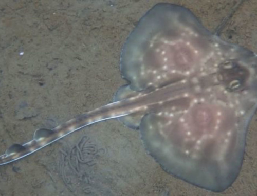
In Northern Ireland colleagues in the Agri-Food and Biosciences Institute had coordinated the survey of Strangford Lough using the Fisheries Protection Vessel Queen of Ulster. Strangford Lough is a fascinating inshore body of water with strong tides. Fragile – and protected – horse mussel beds are found in the tidal channels. During her 47 km of underwater survey Freya took 40,000 photographs, surveying the mussel beds and mapping a shipwreck.
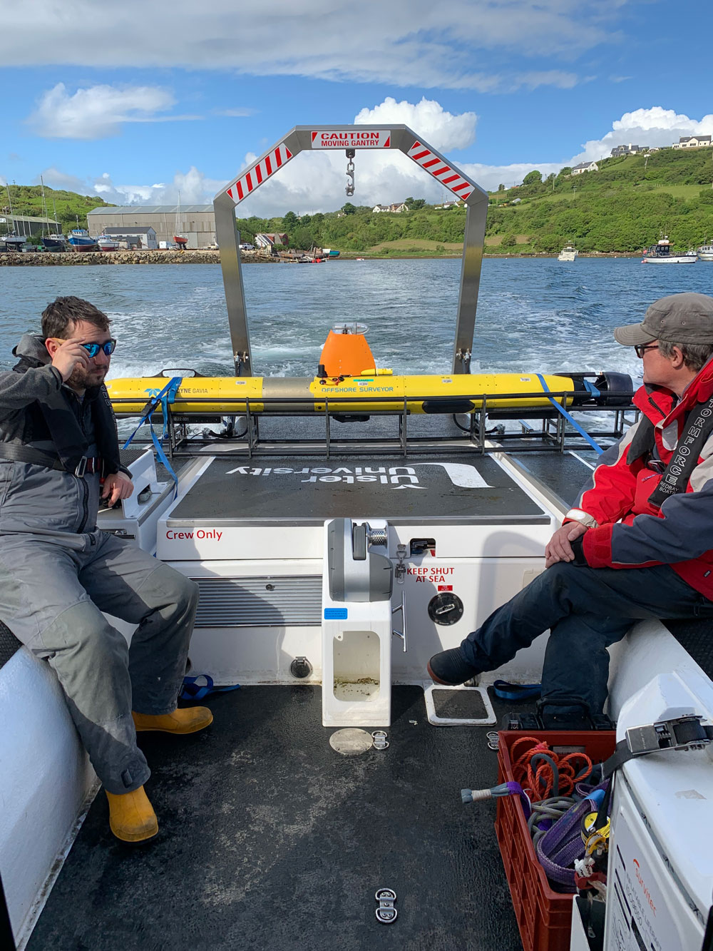
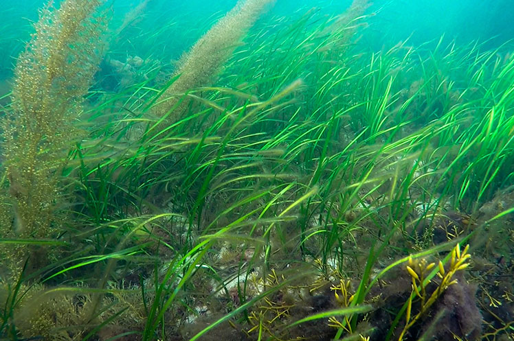
From Strangford Lough the team moved Freya on to Mulroy Bay in Donegal, Republic of Ireland. Working with colleagues from the University of Ulster, Freya was launched from the university’s new survey vessel Laconia. Mulroy Bay contains a dazzling diversity of benthic habitats from shallow water seagrass beds to coralline maerl sediment. Similar to Strangford Lough this is a large body of inshore water that is tidally controlled. The tidal channels contain a colourful shallow water patchwork of rocky and sandy substrate whilst the deeper loughs, North Water and Broad Water, are dominated by muddy-fine grained sediment and provide sheltered water for shellfish and finfish aquaculture.
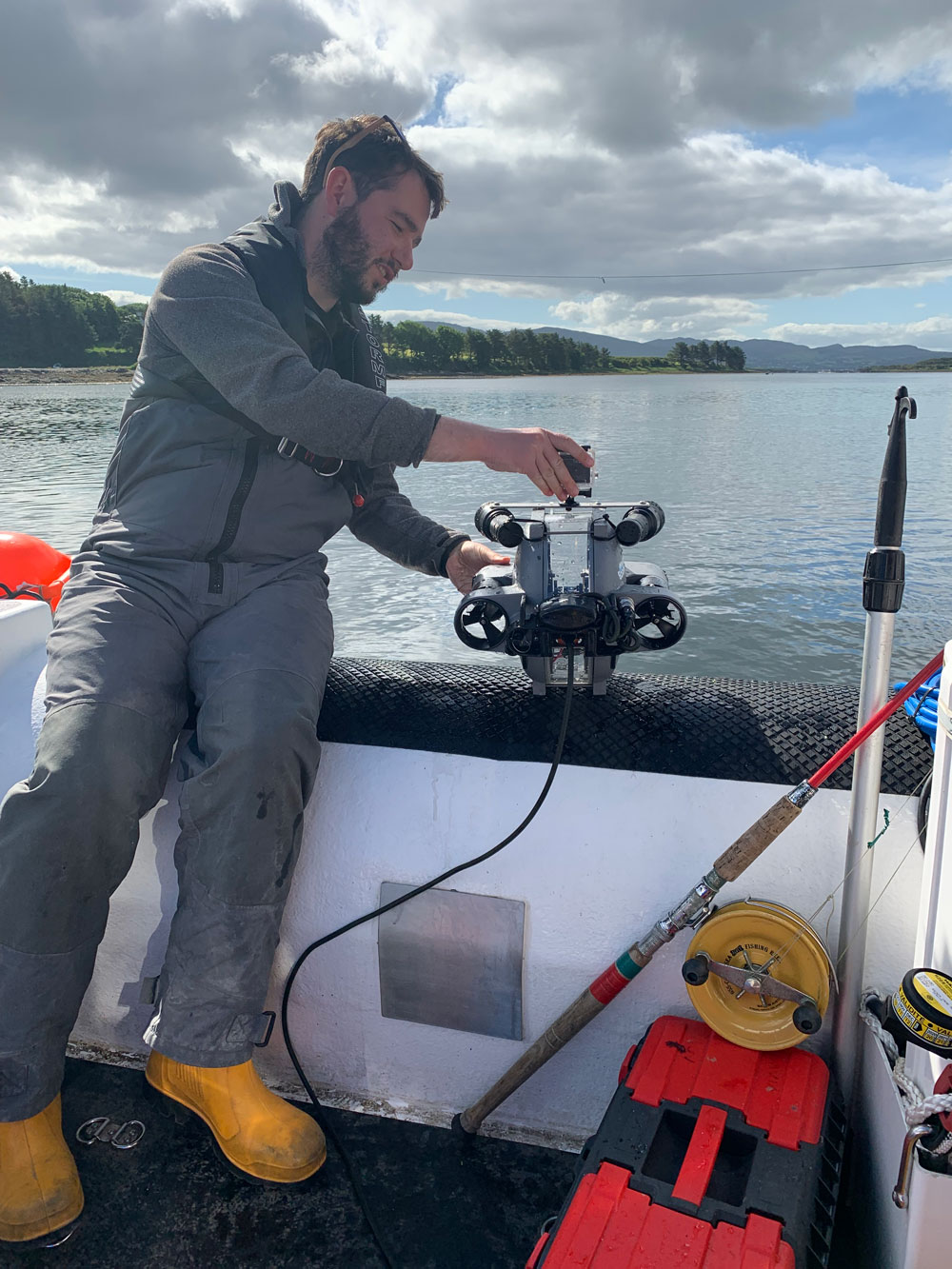
Overall, we deployed Freya on 31 missions and sent our Remotely Operated Vehicle (a robot on a cable) on 120 missions, surveyed a total of 223 km and gathered 50,000 photos and 180 GB of video footage.
Such surveys are important to establish the state of Marine Protected Areas. Mapping out what lives where in a protected habitat is important so we can monitor if agreed protection measures in MPA management plans are working.